OPENING MAY, 2026
Precision drone mapping & inspections with high-quality deliverables
Data-Driven Aerial Intelligence for Mapping, Inspections and Progress Reporting
Hermes Drone Solutions LLC provides professional, high-tech drone solutions for 2D/3D mapping and modeling, infrastructure inspection, roof inspection, construction monitoring and aerial media—providing accurate data and clear visuals on a dependable timeline with high-quality deliverables.
How we work
A Clear Process That Delivers Reliable, Repeatable Results
From flight planning to deliverables, we keep your project organized, documented, and aligned to your accuracy and reporting requirements you specify.
Scope & Requirements
We confirm objectives, site constraints, accuracy targets, and deliverable formats (orthomosaic, point cloud, 3D model, inspection imagery, or video).
Flight Planning, Safety & Regulatory Compliance
We plan airspace compliance, risk controls, and capture parameters to minimize downtime and maximize usable data.
Capture & Quality Control
We collect consistent imagery and telemetry, then perform QA/QC checks to ensure coverage, overlap, and clarity meet the project scope.
Processing & Delivery
We process and package deliverables for your workflow and provide clear documentation for owners, banks, project managers, engineers, stakeholders and recordkeeping.
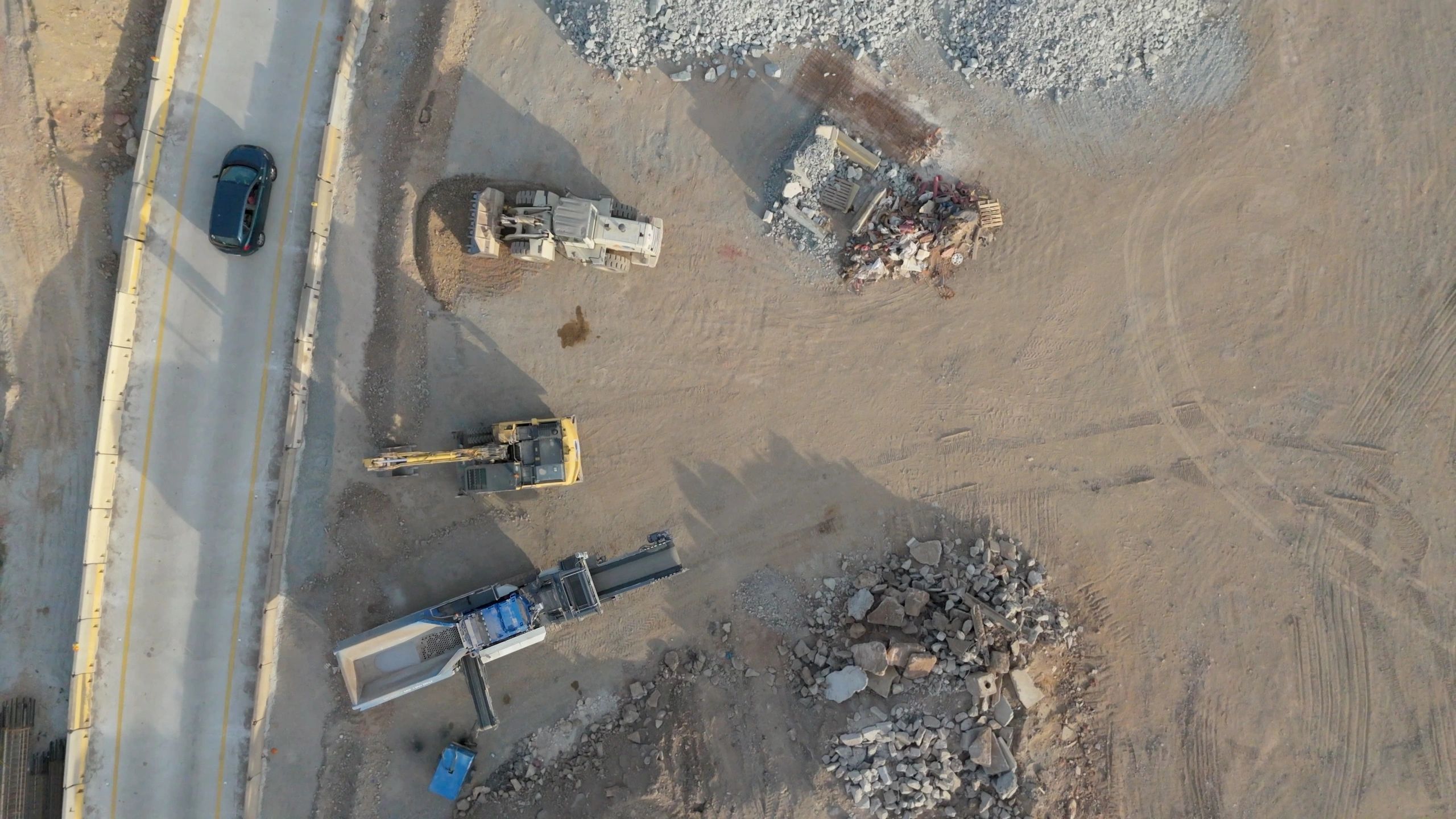
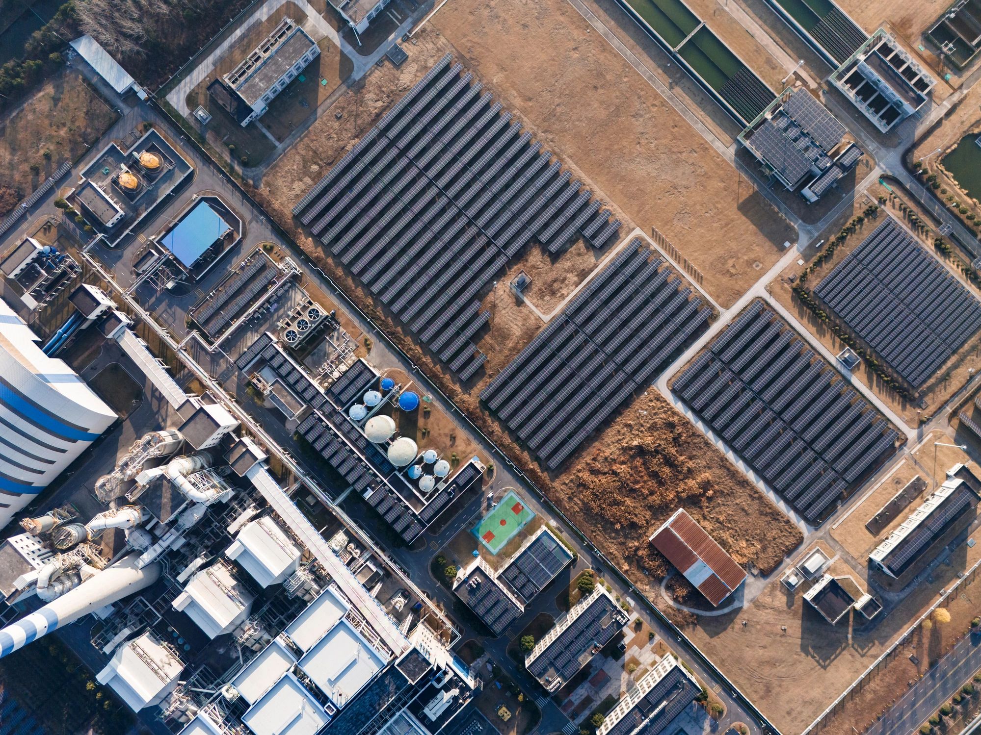
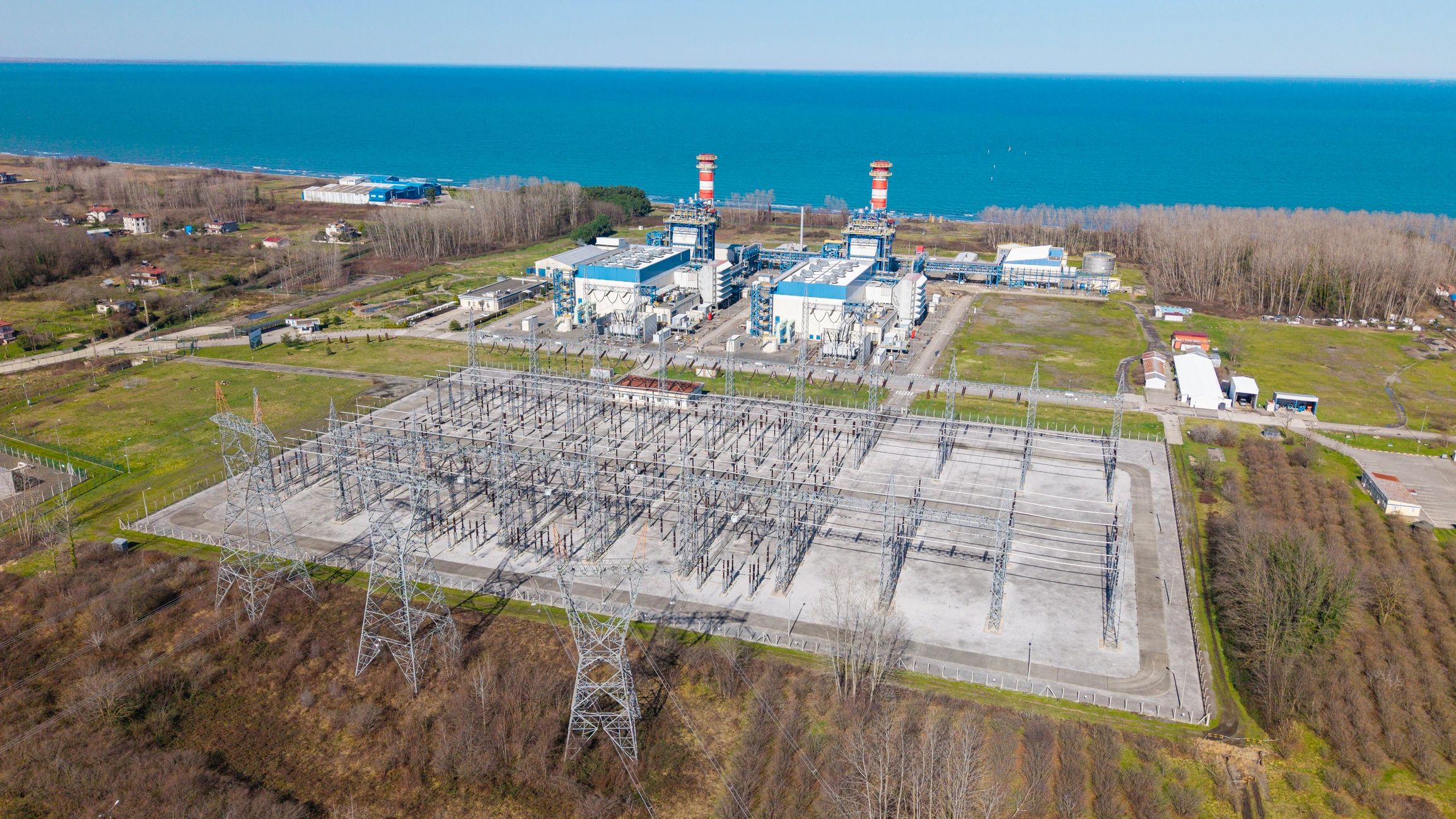
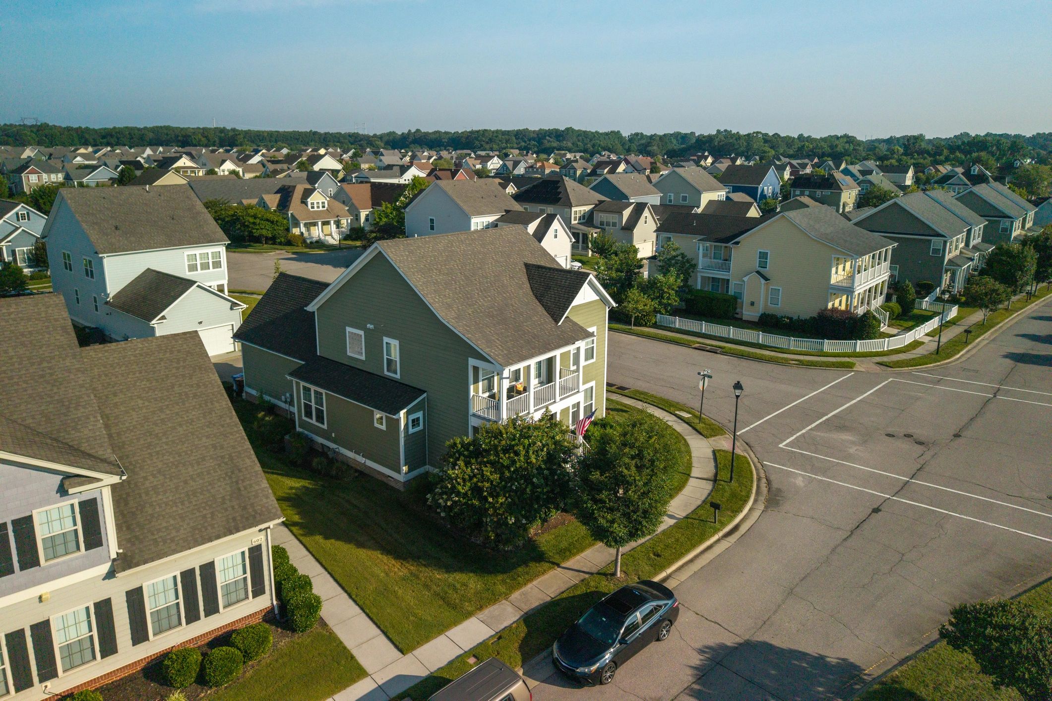
Core services
Drone Services Built For Engineering-Grade Decisions
Accurate capture, consistent reporting and deliverables tailored to your workflow—serving Oklahoma and surrounding states, with travel available across the USA.
Trusted For Critical Assets and High-Stakes Timelines.
We help teams reduce risk, improve visibility, and make confident decisions with consistent capture and clear deliverables.
Safety-First Inspections
Reduce exposure and downtime by capturing detailed visuals without putting personnel in hazardous positions.
Actionable Deliverables
Orthomosaics, point clouds, 3D models, and inspection imagery packaged for engineering, construction, and operations workflows.
Consistent Reporting
Repeatable capture plans and time-stamped documentation that supports stakeholders and simplifies recordkeeping.
Rapid Response Support
Fast scheduling for roof documentation and aerial pet/animal or game/deer locating & recovery when time matters.
What Clients Value
Clear communication, dependable timelines, and deliverables that support real decisions.
★★★★★
Clean orthomosaic and point clouds that drop directly into our workflow with fast turnaround.

★★★★★
Inspection imagery will be detailed and well-organized, helping your team prioritize maintenance without unnecessary site risk.
★★★★★
Professional, responsive, and consistent. Time-stamped progress captures make stakeholder updates straightforward.
Request a consultation
Share your location, site size, and desired deliverables. We serve Oklahoma and surrounding states, with travel available across the USA.
Oklahoma (travel available across the USA)
Phone: (405) 906-7861
Email: frank@hds-pro.com
Business hours: Monday–Friday, 8:00 AM–5:00 PM (Central)